
Washington County ZIP Coverage
Washington County is not one postal city. It includes 27 cities and six townships, plus portions of Hastings and White Bear Lake. The ZIP code directory table uses postal city and community associations surfaced in county planning, service, election, and geography material. It is a practical starting list, not a boundary map or a population ranking. For any exact delivery point, confirm the result with USPS and then check the county parcel or municipal record when jurisdiction matters.
| ZIP | Washington County area association | Postal city route | Verification note |
|---|---|---|---|
| 55001 | Afton | Afton | Confirm a particular rural route with USPS. |
| 55003 | Bayport, Baytown Township, east-river area | Bayport | Postal city can differ from municipal jurisdiction. |
| 55016 | Cottage Grove, Grey Cloud Island, south county | Cottage Grove | Parcel and city limits still need an address check. |
| 55025 | Forest Lake and northern county area | Forest Lake | Parts of the wider Forest Lake area may be outside the county. |
| 55033 | Hastings and Denmark-area edge | Hastings | Only part of Hastings lies in Washington County. |
| 55038 | Hugo, Grant, north-central area | Hugo | Township and municipal boundaries differ from postal routes. |
| 55042 | Lake Elmo | Lake Elmo | Verify the parcel and taxing district. |
| 55043 | Lakeland, Lakeland Shores, Lake St. Croix Beach, St. Mary’s Point | Lakeland | Several municipalities may share this postal label. |
| 55047 | Marine on St. Croix | Marine on St. Croix | Rural routes and township boundaries need USPS confirmation. |
| 55055 | Newport | Newport | A postal city is not a city-limit test. |
| 55071 | St. Paul Park | St. Paul Park | County planning and local services use this ZIP. |
| 55073 | Scandia, May Township, rural northeast | Scandia | USPS city recognition may differ from the local government name. |
| 55082 | Stillwater, Oak Park Heights, Stillwater Township | Stillwater | Extends beyond Stillwater city limits. |
| 55110 | County portion of White Bear Lake and nearby routes | White Bear Lake | Check county and city status address by address. |
| 55115 | Mahtomedi and Birchwood-area east metro | Mahtomedi | Use current parcel data for jurisdiction. |
| 55125 | Woodbury and south-east metro | Woodbury | County service and election materials use this ZIP. |
| 55128 | Oakdale, Pine Springs, Landfall-area east metro | Oakdale | Postal and local-government labels can diverge. |
| 55129 | Woodbury growth area | Woodbury | Use a parcel search for a specific street. |
These ZIPs span different record environments. Stillwater and Oak Park Heights have a deeper directory, newspaper, courthouse, and Sanborn-map trail. Woodbury and Cottage Grove often lead first to newer subdivision plats, permits, and parcel layers. Afton, Bayport, Lakeland, Marine on St. Croix, and St. Mary’s Point share river geography that does not always match the postal city. Forest Lake, Hugo, Grant, May Township, and Scandia can call for acreage and section-township-range research.
USPS ZIP Code Validation
The official USPS ZIP Lookup should settle a specific delivery question before a county property search begins. It has three routes: By Address, By City and State, and Cities by ZIP. By Address is the strongest choice when a house number and street are known. The city route returns ZIPs associated with a city name, while the reverse route returns USPS-recognized cities for a ZIP. USPS warns that a result does not confirm a person or company at that address.
| USPS mode | Fields and result use |
|---|---|
| By Address | Street Address, City, and State are used to resolve one delivery address. Company, Apt/Suite/Other, ZIP, and Urbanization Code are optional fields. |
| By City and State | City and State return ZIPs associated with that postal city. |
| Cities by ZIP | Enter a ZIP to view recognized city names for that delivery area. |
| Result controls | The live interface exposes Find, Edit, and Search Again controls, with a dynamic result-per-page option. |
Enter the address as it is used for mail first. If it does not resolve, inspect the street type, directional, unit, or postal city rather than guessing from a county table. An accepted delivery address still needs a separate county GIS or assessor check for parcel identity. USPS is the delivery authority; it does not decide city limits, parcel ownership, or county membership.
Note: A ZIP result is a useful postal check, but it is not evidence that a named person receives mail there.
Washington County ZIP Search Workflow
A postal reference is most useful when it narrows a location without promising a ZIP-wide resident roster. Start with the delivery address, then select the record system that is actually keyed to the needed fact. The Washington County assessor’s basic form does not accept a ZIP filter. GIS also does not list ZIP as a guaranteed search mode. That makes the postal lookup a validation step, not a shortcut around address and parcel research.
- Use USPS By Address to validate the delivery ZIP and recognized postal city for the complete address.
- Search the Washington County assessor by physical house number and street name, leaving city and ZIP out as the form instructs.
- Open county GIS by address or parcel ID to confirm the parcel, its municipal or township setting, and supporting map layers.
- Use the parcel ID and legal description for tax, deed, survey, or permit research rather than assuming the ZIP is a county-record field.
- For one voter status question, use the state tool. A statutory voter-list request has qualification, fee, and use restrictions.
Once a postal area has been narrowed to an address or street, use the Washington County street directory workflow for the parcel, deed, permit, and historical-address chain. That approach keeps the postal lookup focused on geography while using the correct address-keyed records for a particular lot.
Washington County Assessor ZIP Limits
The assessor’s basic public form has a Washington County quirk that matters for postal searches: it explicitly says not to include city or ZIP in the Physical Address fields. The form is built around parcel number, DBA, physical address, block and lot, section-township-range, acreage, property class, and parcel display choices. It also does not expose an owner-name field. For a name-led parcel question, county GIS is the better starting route. For a ZIP question, validate the postal address first and then search the parcel by its actual street location.
The Washington County Assessor Property Search is shown below.
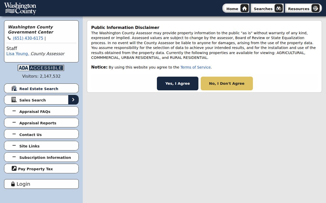
The address-first screen explains why a ZIP alone cannot be used as a countywide parcel filter.
A PIN search supports the percent wildcard, and the block-lot or section-township-range options can help when an older or rural address is difficult. Results may identify the taxpayer or owner context, situs address, mailing address, property ID, municipality, tax description, classification, value, and tax fields. A taxpayer name or homestead classification does not identify every person at a location. Preserve the assessor’s physical-address form before grouping records by a postal area.
| Parcel result field | Meaning for postal research |
|---|---|
| Taxpayer or owner | The name used on the tax record, not a confirmed occupant list. |
| Property / situs address | The physical parcel location that should be checked against USPS. |
| Mailing address | The tax-notice destination, which can use a different postal area. |
| Property ID / PIN | The county parcel identifier used to continue into land and tax records. |
| Municipality and tax description | Local jurisdiction and subdivision, lot, or block context. |
| Class, value, and tax fields | Assessment information tied to a particular valuation or tax record. |
Washington County GIS for ZIP Areas
County GIS is the local check after USPS returns a delivery ZIP. The public viewer can search by address or parcel ID, toggle layers, pan the map, and open parcel details drawn from Assessor, Land Records, Recorder, and Surveyor sources. The county’s map search also supports owner searching. ZIP is not named as a guaranteed GIS search field, so the reliable sequence is address or PIN to parcel, then parcel to jurisdiction and legal-description context.
The Washington County GIS parcel viewer is shown below.
The map helps match a postal address to the county parcel and its surrounding address-point and road layers.
For a rural edge or partial municipality, use the GIS address-point and road-centerline layers as a current-form check. Then use the parcel’s legal description, a plat, or the Surveyor’s records if the question is about a line, lot, or former address. Minnesota Geospatial Commons supplies free county tax-parcel, address-point, and road-centerline data, but the Recorder document and assessor parcel record remain stronger evidence for a legal or ownership claim.
Washington County Postal Geography
Postal geography is the central Washington County ZIP routing limit. A Stillwater ZIP can serve a parcel outside Stillwater city limits. The county includes only portions of Hastings and White Bear Lake, so 55033 and 55110 cannot establish county membership by themselves. River communities can share labels across distinct municipalities, and Woodbury uses both 55125 and 55129 in county planning material. A postal city is a delivery route, not a municipal boundary polygon.
That comparison matters when an address search needs a permit, tax, election, or historical source. The county’s cities-and-townships geography, parcel district, and city department can identify the correct office when a mail label cannot. Do not infer a person’s current location, property ownership, or city residency from a ZIP or a postal city alone.
ZIP, Situs, Mailing, and Legal Records
One Washington County location may carry several valid address labels. The ZIP is a USPS delivery assignment. Situs is the physical parcel. Mailing is where a tax notice or correspondence goes. The legal description is the lot, block, subdivision, metes-and-bounds, or PLSS identity used for land records. A voter’s residence address and a permit’s project address serve still different official purposes. A ZIP-aware record search should keep these systems separate rather than flattening them into one resident record.
- ZIP and ZIP+4
- A ZIP identifies a delivery area. ZIP+4 adds a more specific delivery segment, but it is not a parcel boundary.
- PO-box ZIP
- A ZIP used for post-office-box delivery. It does not identify a physical residence or parcel.
- Unique ZIP
- A ZIP assigned for a specific delivery operation or organization, not a general municipal boundary.
- Carrier route
- A mail-delivery sequence within a postal area. It is not a county ownership or resident list.
A tax notice can pair a property address with a different taxpayer mailing address. The county’s valuation materials also show a parcel ID, municipality, tax description, class, value, and tax calculations. The distinction helps avoid a false conclusion when a mailing ZIP differs from the parcel’s physical ZIP. For a deed chain, keep the legal description with the address because a street number can change while the land description remains useful.
Note: County parcel and taxing-district data are better tools than a postal label for testing local jurisdiction.
Washington County Voter ZIP Limits
Voter records do not provide a general ZIP directory. The Minnesota status form is a one-person registration check, and its complete live result fields were not captured in the research. It should not be used to create a ZIP-wide list. A non-match can reflect a changed name, an update not yet reflected, a protected record, or another mismatch. County Elections can explain registration and precinct questions, while a record request must identify the election, precinct, date, and record type under Minn. Stat. §13.03.
A qualified registered Minnesota voter can request a Walking List under Minn. Stat. §201.091. It is sorted by street and house number, not built as a ZIP endpoint, and it has statutory use restrictions. The area report costs $30 and the statewide report costs $46 under the reviewed state guidance. It may include permitted public fields, but protected voters and Safe at Home participants are withheld. The state’s safety rules intentionally create gaps in address-based research.
Washington County Addressing History
Historical postal labels and county addresses need extra care. Early Stillwater directories can use intersections or old street numbers, and local guidance warns that late nineteenth-century numbering changed. Washington County’s Uniform Street Naming and Numbering Agreement map records different participation histories, including Mahtomedi’s January 2001 withdrawal, St. Paul Park’s August 2000 withdrawal, and May Township’s March 2002 withdrawal. The map does not list every renumbered address, but it is a strong reason to test old jurisdiction and numbering forms.
For a historical address, preserve the old directory spelling and number, then compare Sanborn maps, plats, permits, deeds, and current GIS layers. Stillwater’s directories run unevenly from the listed 1876–77 volumes through county directories listed to 2023. A directory entry can place a person at an address in a particular year, but it cannot replace an address-level USPS check or a county parcel record for the present day. This is the point where postal geography and record history meet.
Washington County ZIP Boundaries
Washington County ZIP boundaries are delivery areas, so use an address-level test whenever the answer affects the chosen government office or a property trail. Start with USPS, validate the physical site in GIS, and retain the parcel ID and legal description for county records. The county research did not locate an official countywide USPS ZIP polygon or export. That gap is a reason to avoid drawing a boundary from a list of city names or a single returned ZIP.
Use the county record that fits the question: assessor and GIS for a parcel, Recorder records for an instrument, city permit staff for a project address, Elections for voter questions, and library or historical collections for a dated resident clue. That division preserves the useful limits of a Washington County postal reference while giving each postal area a practical next step.