
Washington County Previous Residents by Era
Previous residents are best traced as an address history. Washington County has a strong recent recorded-document route, a substantial but irregular Stillwater directory run, older assessor rolls, census schedules, maps, permits, and newspapers. None covers every year or every person. Start with the source that fits the period you need, then compare it to the parcel's legal identity and the address form used at that time. The table separates ownership evidence, residence clues, and building evidence so one kind is not mistaken for another.
| Address-history source | Years it covers | Where held | What it can show |
|---|---|---|---|
| RecordEASE deed index | 1984-present online | Washington County Recorder | Recorded deeds, mortgages, liens, plats, parties, legal descriptions, and instrument references. |
| County survey and archive material | Plats and survey records back to 1847 | County Archives and Surveyor | Legal boundaries and parcel continuity, not a resident list. |
| Washington County assessor rolls | 1856-1961, bulk 1860-1951 | Minnesota Historical Society | Property by subdivision; rolls are missing for 1857-59 and 1867-69. |
| Stillwater and county directories | 1876-2023 with listed gaps | Stillwater Public Library, MDL, library databases | Listed residents, addresses, occupations, and household clues. |
| Sanborn maps | 1884; later local runs through 1950 | Library of Congress and Stillwater Public Library | Building footprint, use, materials, stories, and historic street numbering. |
| Federal and Minnesota census schedules | Federal releases through 1950; state and territorial 1849-1905 | NARA, MHS, FamilySearch, library access | Household snapshots at an enumeration date; the 1905 state census lacks a name index. |
| Historic permits and local newspapers | Stillwater permits from 1886; newspapers from the 1850s onward | Historical Society, city offices, SPL and digital projects | Alterations, notices, moves, deaths, sales, and other dated clues. |
The Stillwater Historical Society directory research route is the source for this former-resident image.
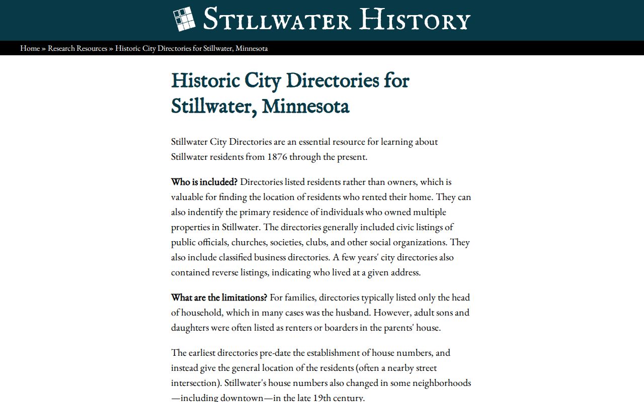
For a recent transfer, begin with the Recorder. For a nineteenth-century household, begin with a directory, census, assessor roll, or map and work toward the legal description.
Washington County Parcel History Starts Here
Save four items before searching backward: the current parcel ID, physical or situs address, tax mailing address, and legal description. The situs address is the parcel's location. The mailing address is where the tax notice goes and can be different. The legal description is the lot, block, subdivision, tract, or metes-and-bounds identity that survives address changes more reliably than a street number.
The Washington County assessor search accepts a parcel number, DBA, physical address, block and lot, section-township-range, or acreage. It specifically says not to put city or ZIP in the physical-address search. The county GIS route can search by owner, address, or property ID, then connect map context to parcel details. Use a result as a starting point, not proof that a named person lived at the location.
Note: Record the address exactly as returned before normalizing it, including direction, street type, unit, municipality, and any older form.
Washington County Deeds Online Since 1984
The Washington County RecordEASE portal covers abstract and Torrens records from 1984 to the present. It supports the essential chain-of-title concepts: grantor, grantee, legal description, recording date, document type, and parcel, tract, or certificate context. A recorded result can supply party role, document number or book and page, date, legal description, related instrument context, and an image or copy route where permitted.
Earlier title work takes a different branch. Use the Recorder's Public Research Room, earlier books and indexes, a Recorder or archive request, the Minnesota Historical Society finding aid, or the FamilySearch Washington County collection when the relevant item is available. The county identifies the Public Research Room on the first floor of the Government Center, 14949 62nd Street North in Stillwater, open Monday through Friday from 8:00 a.m. to 4:15 p.m. The county also prohibits multiple-parcel downloads, scraping, and data extraction.
The RecordEASE recorded-document search is shown in this Washington County deed-history image.
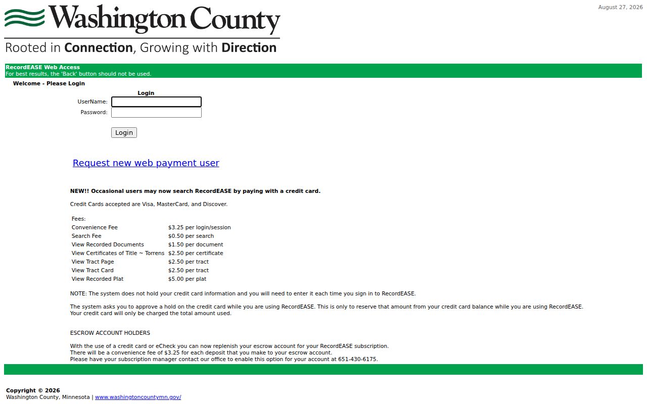
The screen is a recent-record entry point. The counter and archive branch is necessary before the online cutoff, even when a current address is known.
Washington County Address History and Old Numbers
A failed address search may be an addressing problem, not evidence of a move. Early Stillwater directories can use intersections or older numbers. The local directory guidance warns that late nineteenth-century numbers changed, while the county's Uniform Street Naming and Numbering Agreement map records jurisdiction differences, including withdrawals by St. Paul Park in 2000, Mahtomedi in 2001, and May Township in 2002. The map is a warning to test the historical form, not a list of every readdressed property.
Match the street string against a Sanborn map, plat, survey, permit, deed legal description, and directory street or ward list. Search Saint and St, Marine on St Croix and Marine on Saint Croix, as well as old directional forms. The same caution applies near partial municipalities such as Hastings and White Bear Lake, where a city or ZIP label is not enough to establish the county parcel.
Tracing Washington County Past Owners by Deed
A deed chain follows recorded transfers in reverse. Start with the current owner as grantee or with the parcel's legal description in RecordEASE. Open the recent purchase deed, note the seller as grantor, the recording date, the legal description, and the document number or book-and-page reference. Next, search that seller as grantee in an earlier period. Repeat the sequence, using any cited prior instrument to avoid a same-name error.
- Open the assessor or GIS record and save the PIN, situs, mailing address, and legal description.
- Search the current owner as grantee, or search the legal description, in the recent Recorder index.
- Record the purchase deed's grantor, date, instrument reference, and exact legal description.
- Search that grantor as a grantee in an earlier date range, then repeat for each prior transfer.
- When the trail reaches 1984, use the Public Research Room, books, archive, or available microfilm instead of assuming the chain ends.
- Grantor
- The party transferring an interest in a recorded document, commonly the seller on a deed.
- Grantee
- The party receiving the recorded interest, commonly the buyer on a deed.
- Chain of title
- The sequence of recorded transfers used to follow a parcel's ownership history.
- Legal description
- The formal land description, such as lot and block or metes and bounds, used to bridge changed street addresses.
Washington County Legal Descriptions Bridge Changes
Historical-address research can become uncertain when a parcel was split, merged, put into a subdivision, transferred through an estate, or described under a trust. In those cases, a street address alone can join the wrong history. The Recorder's tract or certificate context, the County Surveyor's plats, and the parcel legal description create the bridge. Use the Washington County archive and survey route when plats, survey records, or old parcel identity are the missing link.
The Surveyor records include plats, survey maps, government-corner information, control points, and certificates of survey. Actual surveys can be viewed at the Public Works counter, while the county says surveys before March 1, 1989 are photocopiable. A survey can clarify a boundary or old description, but it does not identify all people who lived there.
Washington County Household Clues Between Deeds
Recorded documents give ownership events. Directories, census schedules, and newspapers fill the intervals between them with household evidence. Use the known address in adjacent Stillwater directory volumes, then compare the nearest census year. The directory collections themselves are kept in the Washington County city directory collections, where the listed geographic scope and gaps matter. An 1898-99 volume includes Hudson, Wisconsin, and a 1924 volume includes Bayport, so each match needs a title-page check.
Stillwater Public Library's St. Croix Collection combines the local directory shelf with obituary indexes, cemetery material, yearbooks, parish microfilm, maps, and newspaper microfilm. The St. Croix Collection research route is the source for the image below.
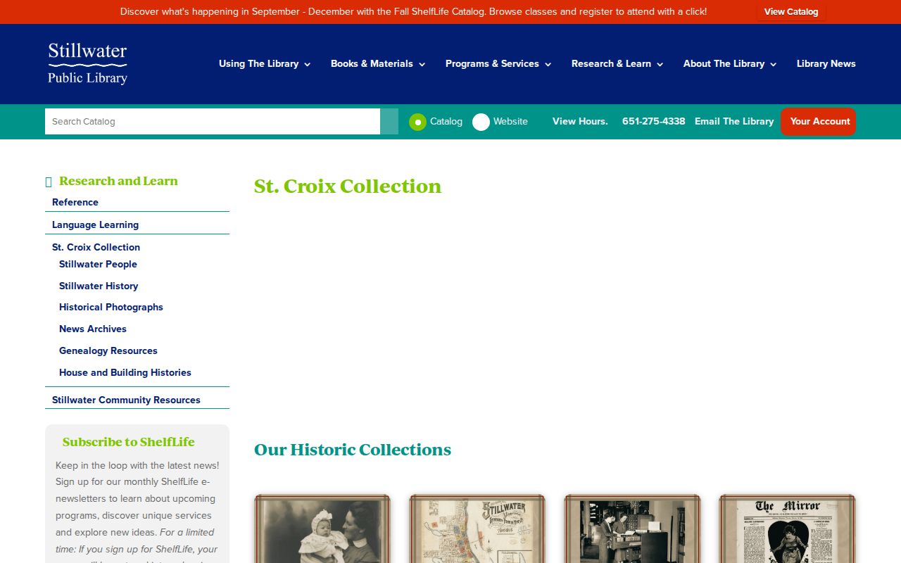
The comparison is useful because a recent web index is fast for deeds, while the library shelf and microfilm may supply the historical address trail the web index cannot.
Washington County Sanborn Maps Date Changes
Sanborn fire-insurance maps are building evidence, not owner evidence. The Library of Congress Stillwater set from May 1884 has 16 sheets. Local sources identify digitized maps through 1924 and microfilm from 1924 to 1950. A sheet can show a footprint, construction material, number of stories, use, outbuildings, and a historic street number. Pair it with the deed chain and a directory when testing whether the same building and address continued through a change.
The Stillwater Historical Society house-history work models the combination. Its Alexander and Ida Johnson House example uses deed references, assessor rolls, census years, permits, Sanborn sheets, a directory, and an obituary. The Judson Maria Smith House combines multiple deed books, assessor rolls, census, Sanborn maps, directories, and newspaper notices. Those examples show a reproducible method, not a guarantee that every Washington County parcel has every source.
Washington County Past Households in Directories
To identify past residents rather than past owners, pair each directory appearance with a released census schedule. Federal schedules are available under the 72-year rule through 1950. Minnesota territorial and state schedules offer 1849, 1850, 1853, 1855, 1857, 1865, 1875, 1885, 1895, and 1905 snapshots. The 1905 schedule is particularly detailed for household research, but it has no name index in the cited Minnesota Historical Society guide. Search by address, age, occupation, and nearby names when a simple name search fails.
- Record the directory year, page, name spelling, address, and occupation without changing the source wording.
- Use the nearest census schedule to test household members and a dated residence.
- Check a following directory volume, allowing for a publisher gap, a changed number, or a changed surname.
- Use an obituary, death index, probate file, or personal-representative deed when a person disappears from the address trail.
Obituaries, probate, and recorded estate deeds can explain a transfer or disappearance, but court files can contain restricted material. Check the original custodian and do not assume an index result reveals the whole file.
Lawful use. Washington County address-history research is appropriate for house history, family history, estate and heir questions, and personal curiosity. Do not use public-record clues to monitor, threaten, or repeatedly contact a living person; Minnesota law addresses harassment and stalking in Minn. Stat. §§609.748 and 609.749.
Washington County Newspaper Address Trail
Newspapers can bridge the years where a directory or deed trail is quiet. Stillwater Gazette daily microfilm begins August 25, 1884 and runs to 2016; the weekly run covers 1875-1957. Earlier Messenger and Republican material reaches 1857-1928, and other local titles add notices, obituaries, civic reports, court items, and property announcements. Search OCR as a finding aid, then read the scanned page because names and addresses can be misread.
The active Stillwater Area Historic Newspapers project reports more than 323,000 Washington County pages and continued Gazette digitization for 1947-77 during 2026. That expanding collection is especially useful after a directory disappearance, but publication coverage and OCR quality still need to be checked for the exact date.
Note: A newspaper notice can support a date or connection, but the underlying deed, court, vital, or archive record remains the stronger source for its own fact.